 roboashish
InfraOS — the operating system for big infrastructure.
Land-parcel, GIS, drone-earthwork and city-surveillance on one platform — built for Reliance and Model Economic Township (METL).
Founded and led the product — unifying land-parcel, GIS, drone volumetrics and ICCC surveillance for Reliance and METL.
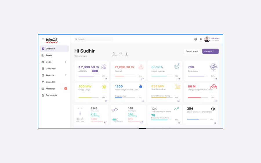
InfraOS — GIS, drone earthwork volumetrics and ICCC city-surveillance dashboards.
The problem
On a large industrial-township build, land parcels, earthwork volumes and site security live in disconnected silos — and earthwork volumes get argued over rather than measured.
What I built
InfraOS unifies land-parcel records, GIS, drone-based earthwork volumetrics, GPS/AutoCAD mapping and real-time ICCC city-surveillance dashboards in one platform.
The outcome
Earthwork measured to the cubic metre, +8% throughput, and a single pane of glass for parcels, drones and security across the site.
Why it works
Once earthwork is measured instead of estimated, the arguments stop. That is what changed on this site.